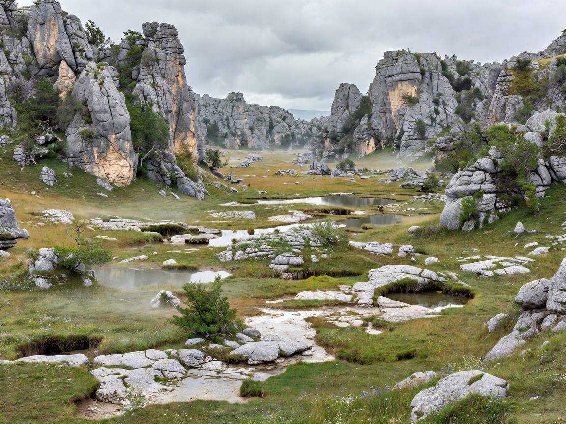
European underground landscapes are varied because the continent contains many rock types, climates and elevation zones. Modern national borders are useful for travel planning, but they do not define geological systems perfectly. A limestone belt may continue across several countries. A mountain massif may feed underground water far beyond the visible cave entrance.
Karst and limestone regions
Karst is terrain shaped by water dissolving soluble rock, especially limestone. Rainwater absorbs carbon dioxide from air and soil. It becomes mildly acidic and can enter cracks, joints and bedding planes. Over time, these openings may enlarge into shafts, passages, chambers and underground drainage routes. Surface clues include sinkholes, dry valleys, springs and disappearing streams.
Limestone caves often develop in layered rock. Their geometry follows the rock structure and the direction of water movement. Some routes are broad and dry. Others are narrow, wet or seasonally active. Calcite deposits may form where mineral-bearing water loses carbon dioxide. Stalactites hang from ceilings; stalagmites grow from floors. Their presence does not by itself indicate route difficulty or age.
Mountain underground environments
Mountain caves are shaped by steep relief, fractured rock, snowmelt and rapid changes in elevation. Access can involve a high trail, exposed ground or a remote valley before the cave begins. Underground passages may be cold, wet and uneven. Surface weather can affect water levels quickly. A calm forecast at the entrance does not guarantee stable conditions inside.
Mountain geology also influences cave tourism. Developed visitor routes tend to require reliable access, protected surfaces and controlled movement. Specialist tours may use different entrances or route systems, but visitors should rely only on authorised arrangements. Exact route length, equipment and seasonal access vary by site.
Coastal caves and underground rivers
Coastal caves combine marine erosion with rock structure, tides and wave exposure. Some are visible from land. Others are reached by boat or a managed shoreline route. The sea can make access highly time-dependent. Wind, swell and tide conditions matter as much as the cave itself. A coastal cave is not automatically a suitable destination for independent entry.
Underground rivers occur where surface water enters soluble rock and travels through a connected drainage system. A cave may contain a permanent stream, a temporary flow or dry passages above the active channel. Water can transport sediment and reshape passage floors. It can also create flooding risk after rainfall, even when the entrance appears calm.
Volcanic and glacier-related landscapes
Volcanic caves often form as lava tubes. The outer surface of a lava flow cools while hotter material continues moving below. When the flow drains, a tube may remain. These passages can have rough floors, low ceilings and fragile surfaces. Lava landscapes are not limestone systems; their textures, hazards and formation processes differ.
Ice caves and glacier-related voids are especially changeable. Ice may occupy a limestone cavity, form around a glacier margin or appear as a seasonal deposit. Temperature, meltwater and movement can alter the environment. Visitors should treat ice features as unstable and use only managed access where available.
Use geology as a planning filter
Ask what rock or process created the landscape. Then ask how water behaves, how the entrance is reached and whether the route is managed. Geology helps explain the experience, but it cannot substitute for current local information. Before travel, consult the official access source, check surface transport and confirm the tour format, restrictions and equipment expectations.